 Fil Caravan
Books & Manuscripts
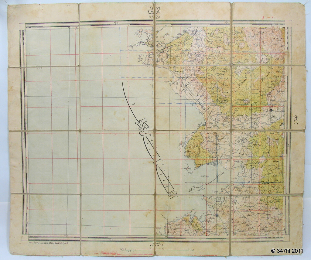
Ottoman Military Topographic Map of Ayvalik, 1927
Silk-backed military topographic map · Ottoman Military survey, Turkey · revised 1927
US $75.00 · or best offer
Description
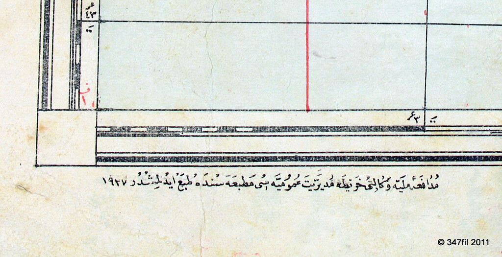
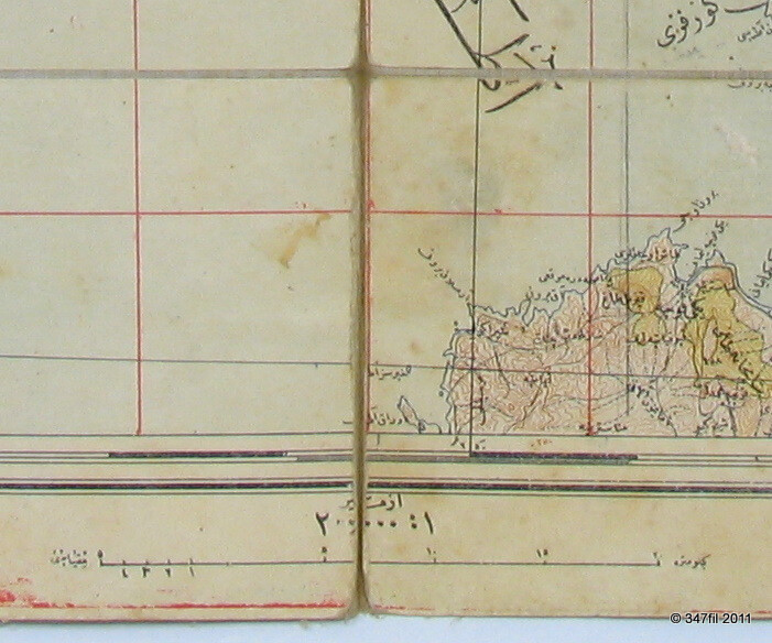
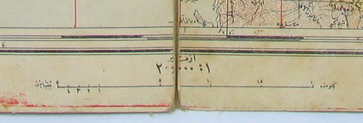
A topographic map of Ayvalik issued by the Ottoman Military survey. In the early years of the Turkish Republic, the army continued to revise existing Ottoman-era sheets while still using the Arabic script. The revision year appears here in the Gregorian calendar as 1927, written in Arabic numerals: ١٩٢٧. Under Atatürk's reforms the Western calendar had been adopted in 1925, and the Latin script would follow in 1928, which places this sheet precisely within that short transitional window.
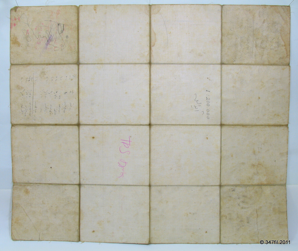
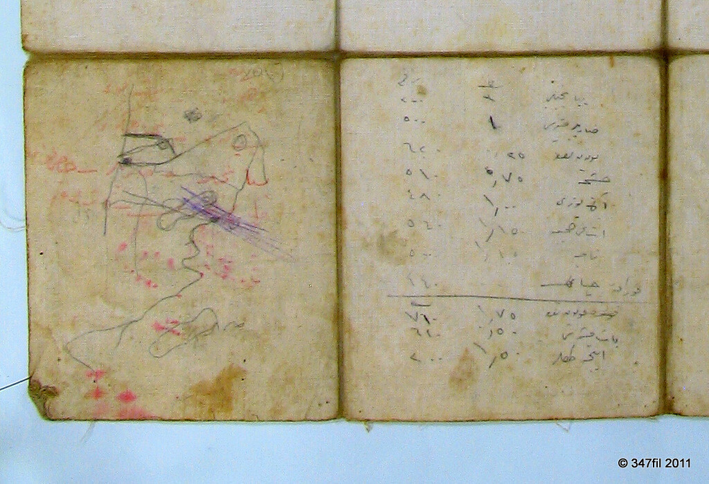
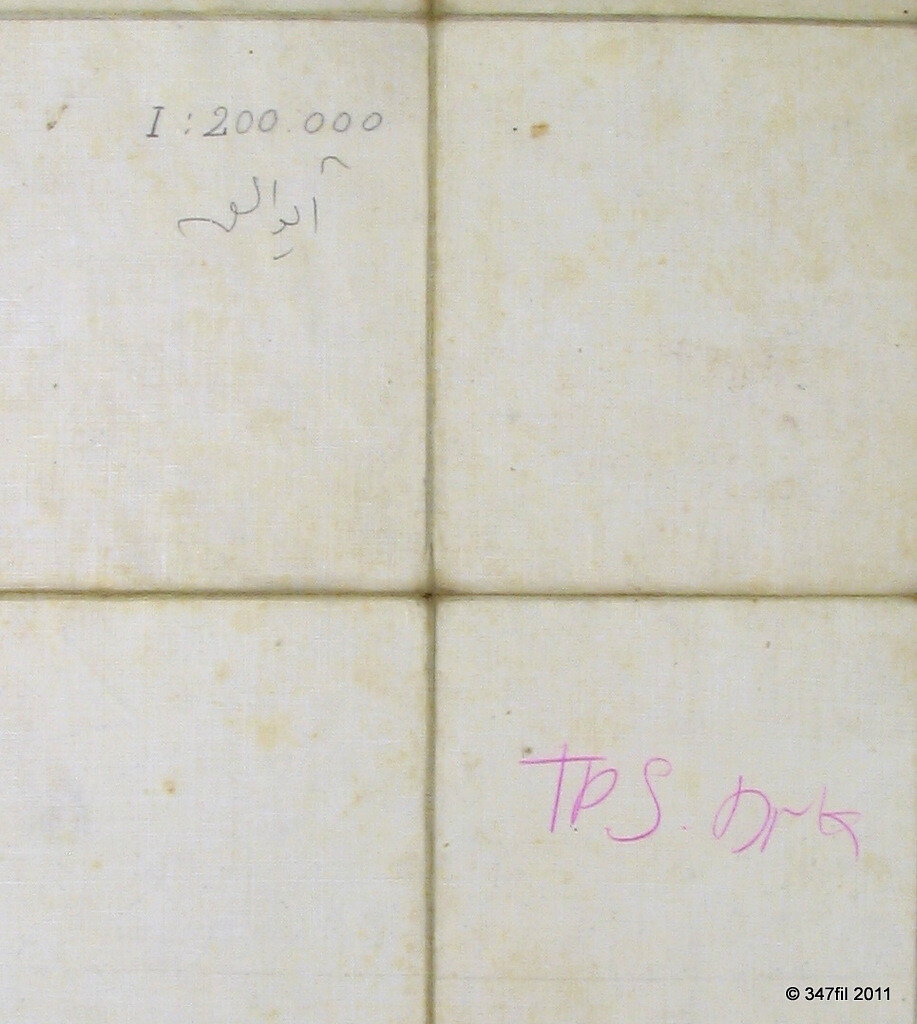
The map measures 19.5 x 22.75 inches (495 x 578 mm) and is mounted on heavy silk cloth in evenly spaced squares, a field-service construction that allowed it to be folded down to pocket size without cracking along the creases.
It survives with its original folds intact.
Photographs
Details
| Origin | Turkey, Ayvalik |
| Publisher | Ottoman Military, topographic map |
| Date | Revision year 1927, in Arabic script (١٩٢٧) |
| Material | Printed map mounted on heavy silk cloth |
| Dimensions | 19.5 x 22.75 in (495 x 578 mm) |
| Reference | eBay item 277825875274 |
Condition
Very good, clean condition with minor spotting, light edge wear, and toning. Otherwise well preserved, with original folds.
More from Books & Manuscripts

The Indian Heritage: Court Life and Arts under Mughal Rule
US $12.00 · or best offer
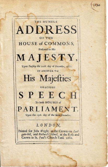
1680 House of Commons Address to the King
US $175.00 · or best offer
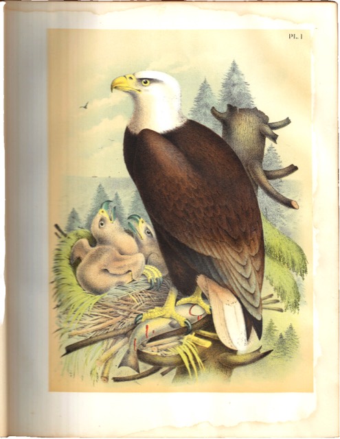
Studer’s Birds of North America, New York, 1888
US $600.00 · or best offer
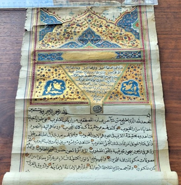
Qadiriyya Sufi Ijazah Scroll, Dated Safar 1229 AH (1814)
US $4,400.00 · or best offer
Fil Caravan · Art & Antiques, New York · inquiries@filcaravan.com
eBay item 277825875274 · https://www.ebay.com/itm/277825875274
https://filcaravan.com/listings/277825875274.html