 Fil Caravan
Books & Manuscripts
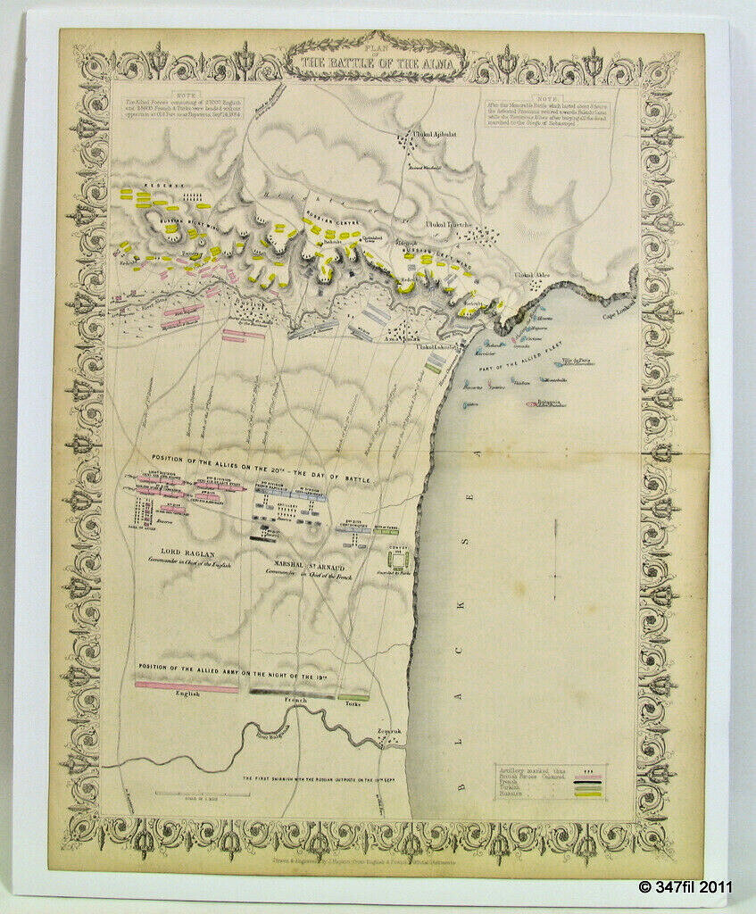
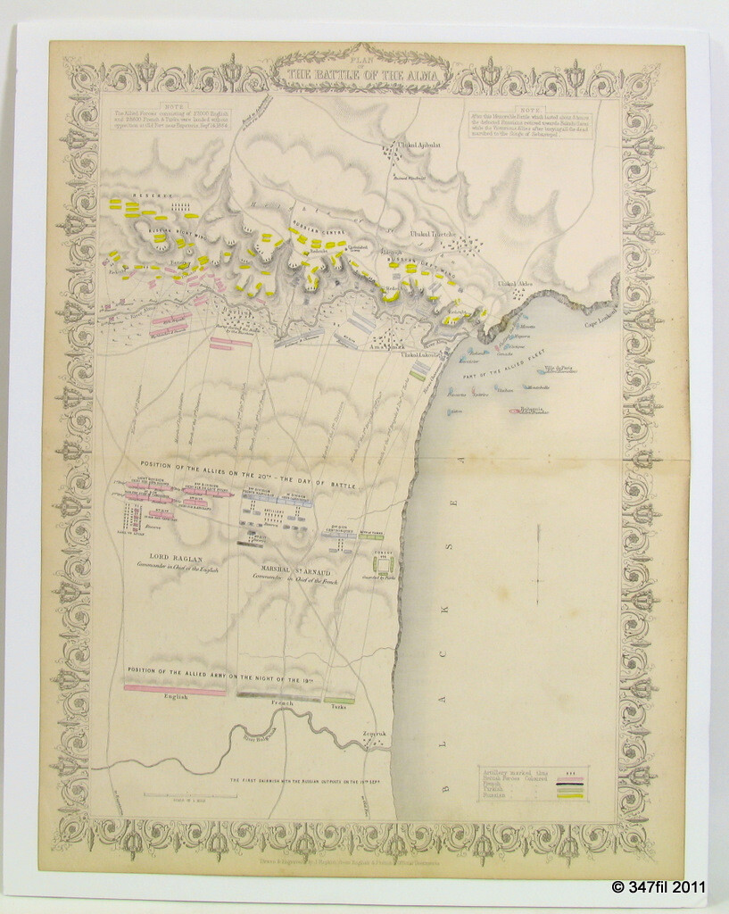
The Battle of the Alma, 1854, Hand-Colored Crimean War Map
Color map of the Crimean War engagement · London Printing and Publishing Company · 1856
US $95.00 · or best offer
Description
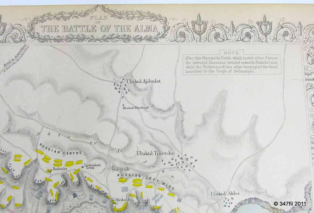
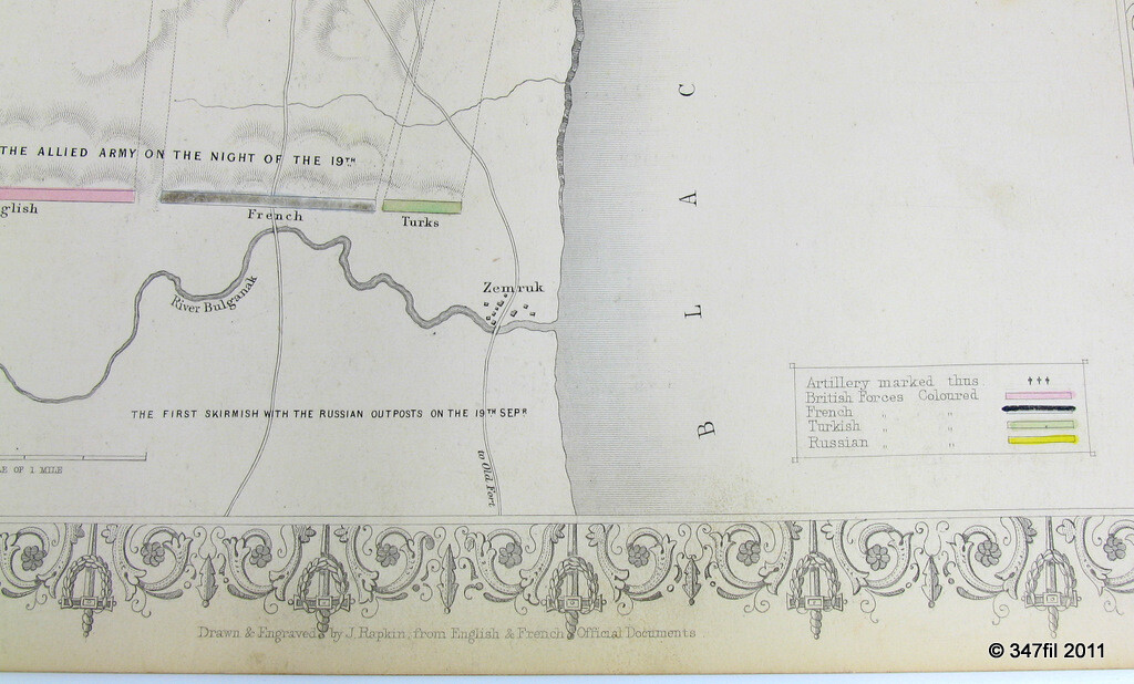
A color map recording the Battle of the Alma of 1854, the first major engagement of the Crimean War, fought by the allied forces, Britain, France and Turkey, against Russia on the road to Sevastopol.
Published by the London Printing and Publishing Company in 1856, while the campaign was still fresh in the public mind. Page size 10 5/8 x 13 7/8 inches (270 x 352 mm), with the original fold line as issued.
Photographs
Details
| Subject | The Battle of the Alma, 1854, Crimean War |
| Publisher | London Printing and Publishing Company |
| Period | 1856 |
| Page size | 10 5/8 x 13 7/8 in (270 x 352 mm) |
| Reference | eBay item 277775181825 |
Condition
In very good, clean condition, with some spotting and light edge toning. Otherwise well preserved, with the original fold line as issued.
More from Books & Manuscripts
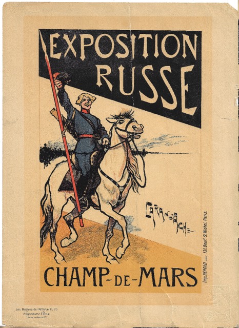
Caran d'Ache, "Exposition Russe", Maîtres de l'Affiche, 1896
US $75.00 · or best offer
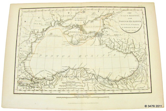
"The Palus Maeotis and Pontus Euxinus", Black Sea Map, 1805
US $70.00 · or best offer
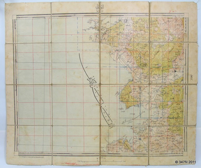
Ottoman Military Topographic Map of Ayvalik, 1927
US $75.00 · or best offer
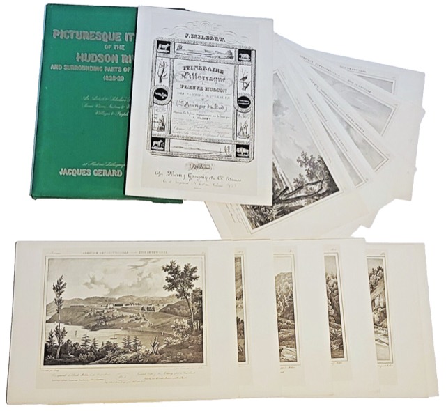
Milbert's Hudson River: 54 Facsimile Lithographs
US $550.00 · or best offer
Fil Caravan · Art & Antiques, New York · inquiries@filcaravan.com
eBay item 277775181825 · https://www.ebay.com/itm/277775181825
https://filcaravan.com/listings/277775181825.html